Translate


Purpose
Create safe pedestrian and bicycle connections between the Clackamas Regional Center Max Green Line light rail station and major area employers and services by working with the community to identify and prioritize safe pedestrian and bicycle connections in the area.
Description
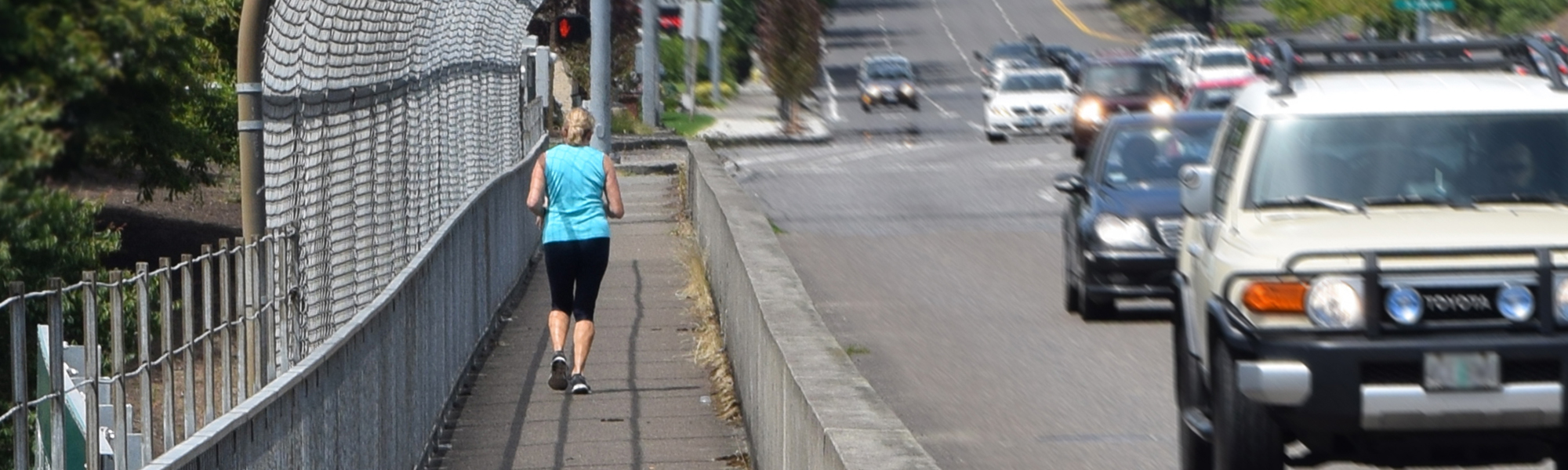
The Clackamas Regional Center is the hub of commercial development activity, employment and services in Clackamas County. In September 2009, TriMet began providing light rail service to the area with the Green Line, which brought more pedestrians and cyclists. The identification of barriers to pedestrians and bicyclists in the area is critical and necessary to improve the environment for people walking and cycling.
Outcomes
Recommend pedestrian and bicycle improvements and code amendments to:
- Increase transportation travel choices
- Identify more pedestrian and bicycle connections
- Create pedestrian / bicycle sign plan to provide way-finding
Project Area
Clackamas Regional Center area from Causey Avenue/I-205 west to Fuller Road, south to just south of Harmony Road, east past I-205 (including the area just south of Sunnybrook Boulevard) and SE 97th Avenue, and north to Sunnyside Road and Causey Avenue
Funding
The project is funded by a grant from the statewide Transportation and Growth Management (TGM) Program, through the Oregon Department of Transportation.
Timeframe
February 2011 - June 2012
Team Leaders
Clackamas County and the Oregon Department of Transportation
Public Involvement
The public is involved in a number of ways including through outreach to the Southgate, Sunnyside and North Clackamas Citizen Planning Organizations; a Project Advisory Committee; a Project Web Site; and briefings and public hearings before the Clackamas County Planning Commission and Board of Commissioners.
Major Tasks
- Create inventory and analyze potential improvements.
- Map existing and planned trails, sidewalks and bikeway connections.
- Inventory gaps in the existing system including unsafe or non-existent crossings.
- Identify needed potential pedestrian and bicycle connections, with priority on the Max TriMet Green Line, to area businesses and services, including Clackamas Community College Harmony Campus, North Clackamas Aquatic Center, Clackamas Promenade, Kaiser Permanente, Willamette Falls Clinic, and other areas within the Clackamas Town Center and Eagle Landing mixed use developments.
- Identify and assess needs associated with the I-205 multi-use path, and identified Active Transportation Corridor along King Road and Monroe Street between McLoughlin Boulevard and the I-205 multi-use path.
- Prioritize pedestrian and bicycle connections needed to provide access to the Clackamas Regional Center.
- Review study area traffic data with the Oregon Department of Transportation.
- Create a sign plan to support way-finding for pedestrians and cyclists.
- Prepare zoning code amendments to help implement connections plan.
- Develop a list of pedestrian and bicycle improvement projects for adoption.