Translate


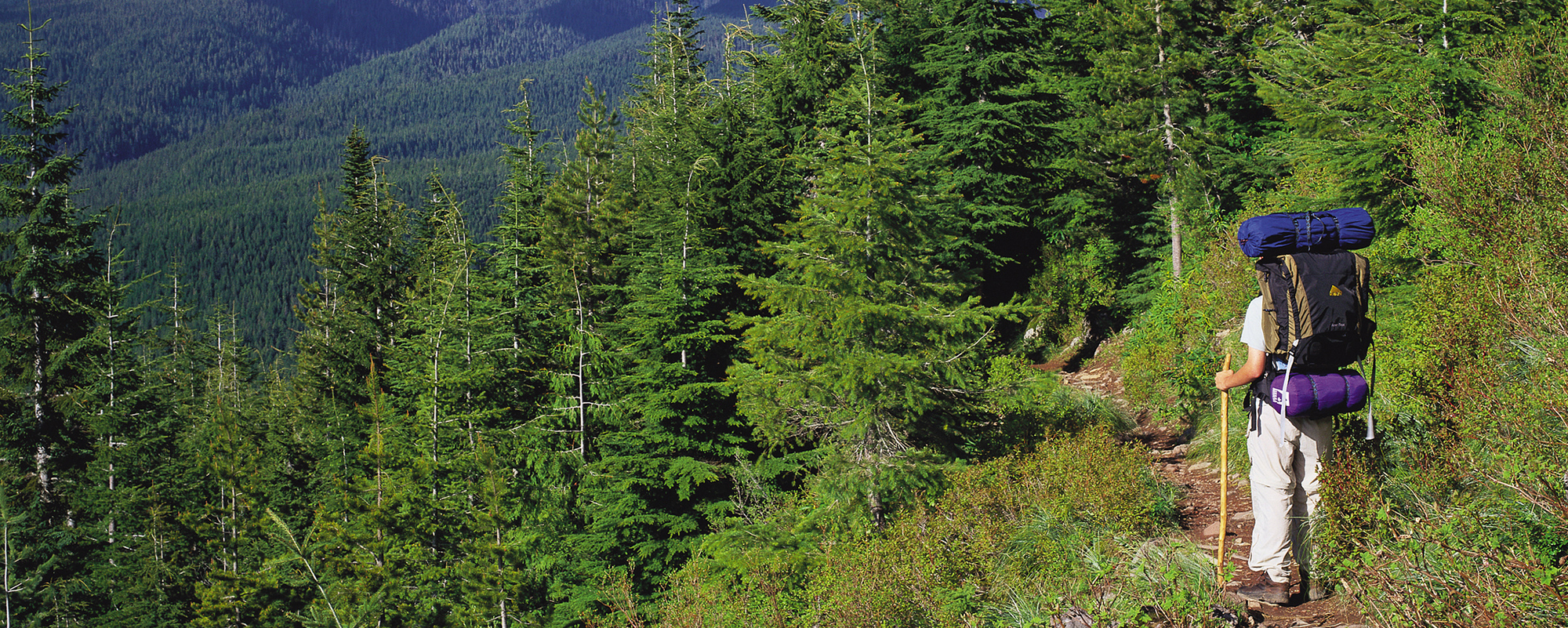
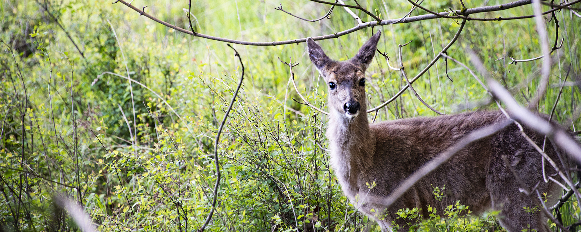
Outdoor recreation will always be an important part of the Clackamas County experience.
In Clackamas you can drive a few miles and find yourself in the country.
Just southeast of Portland, Clackamas County is the third-most populated county in the state.

A day in Clackamas might include fishing, skiing, swimming or paddle boarding.
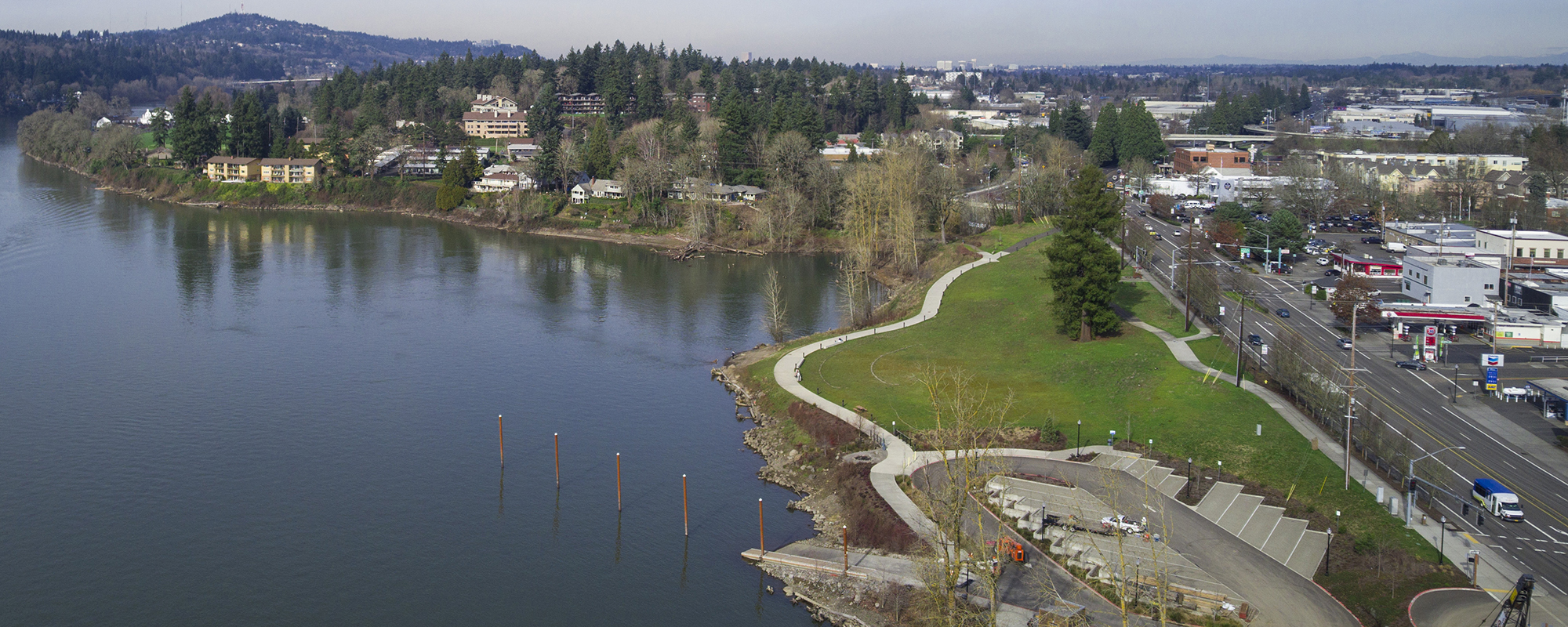
The 1,883 square miles of Clackamas County make up one beautiful place to be.
From the snow-packed peak of Mt. Hood to the depths of the Willamette River, the 1,883 square miles of Clackamas County make up one beautiful place to be. Our borders include Happy Valley to the north; Mt. Hood National Forest to the south; Government Camp to the east and Wilsonville to the west. When it comes to these and the many other diverse communities that make up Clackamas, we like to say that we’re urban, suburban, rural and wild.
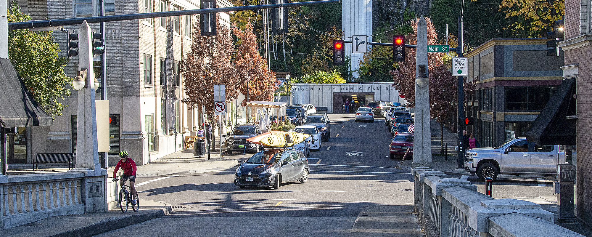
A day in Clackamas County might include a hike in a pristine, forested park, shopping for artisan crafts at the Milwaukie Farmers’ Market, taking pictures of the horseshoe-shaped Willamette Falls (the largest waterfall by water volume in the Northwest); paddle boarding at Trillium Lake or zipping up the only “vertical street” in North America at the Oregon City Elevator.
Demographics of Clackamas County
The population of Clackamas County according to the 2020 Census data was 421,401 people, which is an 11.2% increase when compared to the 2010 Census.
Age
| Under 5 years | 5.2% |
| Under 18 years | 21.2% |
| 65 years and over | 18.8% |
Other
- From 2015-2019, the population of veterans: 26,384
- Total number of businesses in 2019: 12,265
- Percentage of people over age 5 who speak a language other than English at home: 12.1%
- Percentage of households that had a household computer from 2015-2019: 94.2%
Clackamas County meetings
Our Community Surveys
We conduct these surveys to learn more about the needs of our community.
History of Clackamas
Clackamas County, named after the Clackamas Indians, was one of four original districts created by the Provisional Legislature on July 5, 1843. At that time Clackamas County covered portions of four present-day states and one Canadian province. In 1844 the Columbia River was made the northern boundary of the county, and the United States-Great Britain Boundary Treaty of 1846 relocated the northern border of both the United States and Clackamas County at latitude 49 degrees. In 1853 an Act of Congress that created the Washington Territory enclosed Clackamas County within the present-day boundaries of Oregon. In 1854 Clackamas County acquired the boundaries it has today.
Oregon City, the county seat for Clackamas County, was incorporated in 1844, making it the first incorporated city west of the Rocky Mountains. The area was the terminus for water transportation on the Willamette River and had been a meeting place for Indians, hunters, trappers and Hudson's Bay Company voyageurs for years.
The first major overland immigration to Oregon City occurred in 1842. Three years later Samuel Barlow established an immigrant route that ran from The Dalles, around the south side of Mt. Hood and into Oregon City. The Barlow Road funneled thousands of immigrants into Oregon City and Clackamas County during the 1840s. Oregon City became the primary urban center in Clackamas County, dominating social and political life in Oregon. This changed after the territorial capital was moved from Oregon City to Salem in 1852 and Clackamas lost its access to the Columbia River with the formation of Multnomah County in 1854.
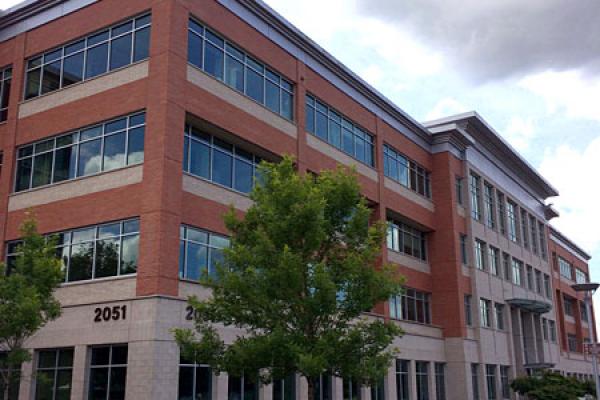
The Clackamas County Courthouse in Oregon City was completed in 1937. It currently houses state court-related offices. Most county offices are now in the Public Services Building or the Development Services Building, both located in the Hilltop area of Oregon City.
Land Acknowledgement
What we now call Clackamas County is the traditional lands and waterways of the Clackamas, Chinook Bands, Kalapuya, Kathlamet, Molalla, Multnomah, Tualatin, Tumwater, Wasco and many other tribes of the Willamette Valley and Western Oregon. We will never be able to name every tribe that visited or lived upon this land because these communities frequently traveled for trade and other reasons. The Indigenous people lived, traded and navigated along great rivers and tributaries presently named the Clackamas, Molalla, Pudding, Sandy, and Willamette. Many of the original inhabitants of this land died from disease, war and other conflicts. Those that survived these tragedies were forcibly removed and relocated by European settlers and the United States Government because of the land’s value. Today, their descendants live on, still carrying on the traditions and cultures of their ancestors.
We honor the Native American people of Clackamas County as a vibrant, foundational and integral part of our community here today. We respectfully acknowledge Wy’east, also known as Mount Hood, and Hyas Tyee Tumwater, also known as Willamette Falls, as sacred sites for many Native Americans. We thank those who have connection to this land and serve as stewards, working to ensure our ecosystem stays balanced and healthy.
Geography
Clackamas County, in north central Oregon, is one of the four counties that make up the Portland, Oregon, metropolitan area. It is bounded by Multnomah County to the north, Wasco County to the east, Marion County to the south, and Yamhill and Washington counties to the west. The county encompasses 1,879 square miles (4,866.6 square kilometers). The county's heavily timbered geographical features include the 11,235-foot Mt. Hood, the Mt. Hood National Forest, the Bull Run Watershed and numerous rivers - including the Willamette, Clackamas, Sandy, Pudding, Molalla and Salmon. Some of Oregon's richest farmland is located in areas surrounding the communities of Canby, Sandy, Boring, Wilsonville and Molalla.
Cities in Clackamas County
Hamlets and Villages
The nationally recognized Hamlets and Villages program is a grassroots, citizen-driven program developed by Clackamas County following the 2000 Complete Communities Congress. More than 2,000 residents participated in the formation of the program and now in continuing operations of the hamlets and villages.
Currently there are three Hamlets — Beavercreek, Mulino and Stafford. There are currently no villages. Each Hamlet and Village has a board of directors publicly elected by their community. The Board is responsible for developing and implementing programs and projects chosen by the communities. Clackamas County provides a staff liaison and a small operating budget for each Hamlet and Village. Any additional funding for the organizations comes from donations, fundraising or grants.
Economy
Since its creation in 1843, agriculture, timber, manufacturing and commerce have been the county's principal activities. In recent years Clackamas County business districts and communities continue to grow at a strong rate. The many flourishing businesses include industry leaders in metals, machinery, healthcare, high tech, logistics, forestry, food and beverage processing, renewable energy, nursery/agriculture, tourism and software development. A variety of shovel-ready industrial sites within minutes of interstate and state highways and/or the Portland International Airport make Clackamas County additionally appealing to business and industry.