Translate



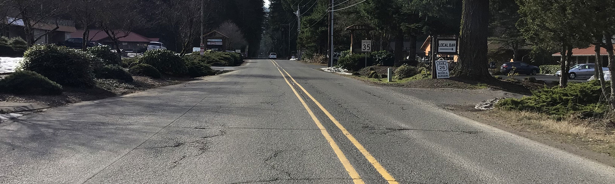

Welches Road is a main road without sidewalks or shoulders in the Welches area. To provide a safer roadway for all users, especially pedestrians, a project is planned between Hwy 26 and Fairway Estates Road.
In 2016, the Welches community helped the county develop The Villages at Mt. Hood Pedestrian and Bikeway Implementation Plan. The plan prioritizes pedestrian and bicycle infrastructure improvements to create a connected system integrated with transit to meet the needs of residents and visitors, such as Safe Routes to School plans, enhanced Hwy 26 crossings, and identifying bicycle and pedestrian needs. The Welches Road project is identified as a high priority project within the Villages at Mt. Hood Pedestrian and Bikeway Implementation Plan.
Community survey feedback and design shifts
Thank you to all who participated in the survey last fall. The design team considered the feedback for the 30% design. The survey results were split related to the length of the multi-use path along Welches Road. However, detailed cost estimates performed for both sides of the road showed the project would cost significantly more than that had been budgeted.
While the initial scope of the project included looking at connections between Hwy 26 and Birdie Lane, the design has changed to reduce the path length to end at the existing pathway south of Woodruff Way. This decision was made in an effort to create the most benefit for the community while staying near the approved budget.
This will result in an 8-foot concrete pathway that is slightly offset from the curb on the east side of the road along the Thriftway property and south to Huckleberry Drive. At Huckleberry Drive the path transitions to asphalt and maintains 8-13 feet of separation from the vehicle travel lane. At Fairway Ave the path will cross to the west side of the road to Woodruff Way, where we will cross back to the east side and connect with the existing path.
What to expect next
The engineering design team is determining the specific path layout at locations where there are existing trees or other natural obstacles. Once that has been determined our right of way team will reach out to impacted property owners. Changes to the design plans will be refinements to intersection design, drainage treatments, path width, etc. Expect an update from the project manager at the September Hoodland CPO meeting with near final design plans. Our goal is to construct the project in the summer of 2028.
As part of the Transportation System Plan update, a secondary multi-use path down to Salmon Road has been included on Welches Road. If funding opportunities arise that meet the goals of this project, staff can apply for funds to further the multi-use path in the future.
 Projects funded through the new Community Road Fund will increase safety, relieve congestion and maintain local roads.
Design phase
Updated: Aug. 27, 2026
Why
To provide a safer roadway for all users of the roadway, especially vehicles and bicyclists.
Schedule
Design: Nov 2024 - Spring 2027
Right of way: Winter 2027 - Spring 2028
Construction: Spring 2028 to Fall 2028
Traffic impact
No impacts to traffic at this time. Single lane closures and detours may be needed during construction.
Funding
- Project estimate $3.4 million.
- Funding is provided from Community Road Funds and System Development Charges.