Translate


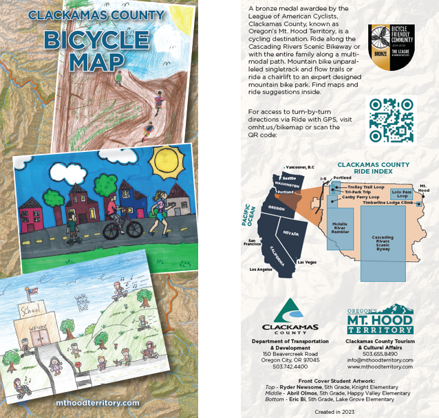 The Clackamas County Bicycle Map has lots of information to help bicyclists pick the best routes, whether for work or recreation, including:
- bike lanes and paved multi-use paths
- roadways, divided into four categories based on suitability for bicycles to share with vehicles — most suitable, moderately suitable, less suitable and difficult connection
- hard-surfaced roads and gravel roads in Mt. Hood National Forest
- single-track and double-track mountain bike trails
The map also highlights 7 suggested recreational bike rides, from seven to 72 miles long, from relatively flat farmland to uphill all the way. Each ride has its own map, ride summary, and elevation profile.
The free, printed Bicycle Map is available at the Clackamas County Development Services Building, 150 Beavercreek Road, Oregon City – 3rd Floor Engineering Division.