Translate


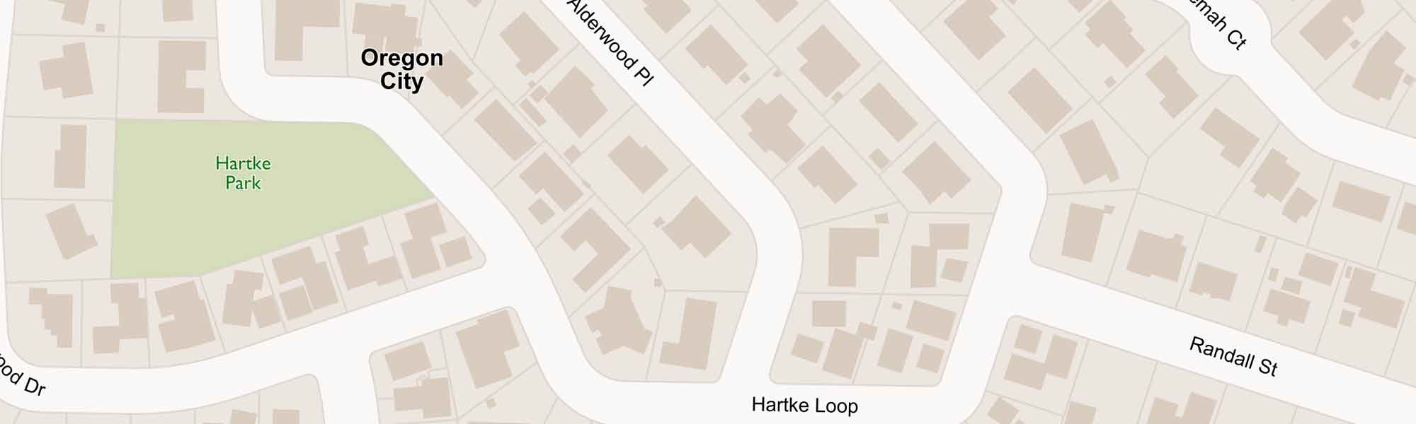

CMap is Clackamas County’s tool for looking up property information.
With an address, parcel number, tax lot or intersection you can find:
- Building information
A home’s square footage, the number of bedrooms and bathrooms, the year it was built and when it last sold. - Tax Information
A building’s value, land value, total value and assessed value. - Jurisdiction
Is this property in a city? Is it part of the urban growth boundary? Are there any zoning restrictions? - Voting
Know your State House and Senate district, voting precinct and congressional district. - Services
Find out who provides services such as cable, garbage, fire, sewer and water — as well as local schools and parks. - Natural Hazards
Floods, earthquakes, fires and landlsides — which naural disasters are most likely to affect your property. - Documents
Find surveys and taxmaps provided by the Surveyor and Tax Assessor.
Tips for How to Use CMap
- Use the search box to enter an address. You can use the down arrow to select another search option — like city, intersection, tax lot or parcel number.
- Use the plus (+) and minus (-) icons on the bottom left-hand side to zoom in or out.
- Clicking on the camera will turn on/off the aerial photography.
- Not what you’re looking for? We also have a tool to look up your property tax information, AscendWeb.
Frequently Asked Questions
- How do I find the owner of a piece of property?
We do not publish property owner names on the internet. For owner information, please contact Assessment & Taxation at propertytaxinfo@clackamas.us or 503-655-8671. - CMap shows my neighbor’s house crossing my property line. What should I do?
The property boundaries shown on CMap are not survey quality. If you have questions about your property boundaries, consult A Guide to Selecting an Oregon Land Surveyor.
Disclaimer
The information and maps accessed through this website provide a visual display for your convenience using data from Clackamas County's Geographic Information Systems. Every reasonable effort has been made to assure the accuracy of the maps and associated data from several sources. Clackamas County makes no warranty, representation or guarantee as to the content, sequence, accuracy, timeliness or completeness of any of the data provided herein. Clackamas County explicitly disclaims any representations and warranties, including, without limitation, the implied warranties of merchantability and fitness for a particular purpose. Clackamas County shall assume no liability for any errors, omissions, or inaccuracies in the information provided regardless of how caused. Clackamas County assumes no liability for any decisions made or actions taken or not taken by the user of this information or data furnished hereunder. Users are strongly advised to verify from authoritative sources any information displayed in this application before making decisions.