Translate


We are a division of Clackamas County's Technology Services department. GIS assists in the decision-making process with tools to analyze and compare numerous geographic data layers along with traditional databases.
Try the new ADA-compliant, Beta version of CMap and supply feedback using the form within the application.

Web Mapping Applications
Explore Clackamas County through our applications.
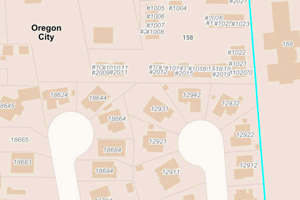
For parcel specific questions concerning ownership or property-related data not found in our on-line applications, please contact the Clackamas County Assessment & Taxation Office at 503-655-8671 or propertytaxinfo@clackamas.us. You can download assessor maps for the entire state on the Oregon Department of Revenue's ORMAP website.
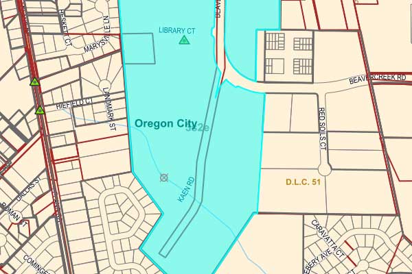
For property boundary questions, please contact the Clackamas County Surveyor's Office at 503-742-4475 or surveyor@clackamas.us.
Answers questions about jurisdiction, schools, parks, assessment information and much more.
Find plat, survey and public land corner information.
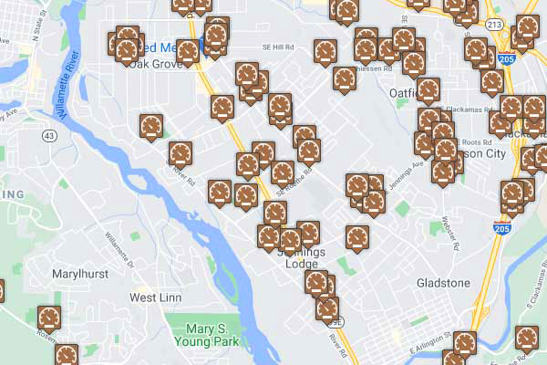
View multiple years of traffic counts throughout the county.
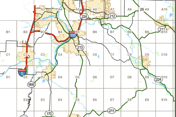
8.5 x 11" map grids you can print at home.
GIS Store
Visit our online store to purchase aerial photos, maps and mailing labels.
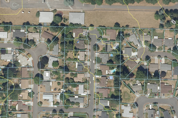
These photos can be used by themselves or overlaid with other information such as tax lots, contours, soils and much more.
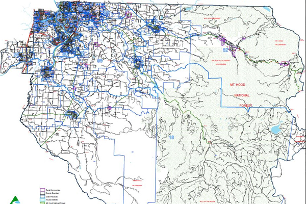
A printed version is available on request. This large map shows the entire county, with urban and rural areas in greater detail.
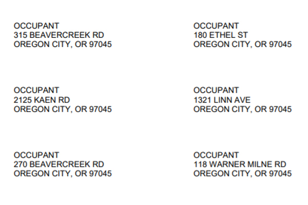
Labels that comply with various city and county notification regulations for planning requirements.
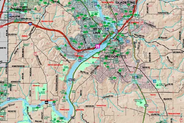
View or download a sample of our county road map. Visit our online store to purchase a current version.
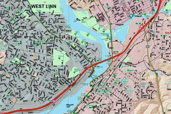
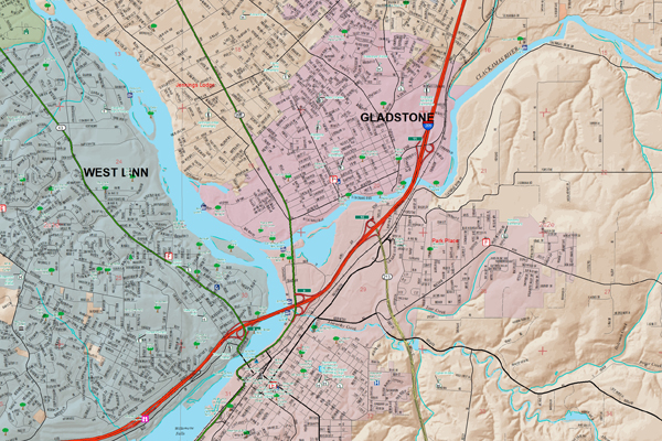
View or download a sample of the urban areas of our county road map. Visit our online store to purchase a current version.
Digital Data
Download free Clackamas County data or explore subscription opportunities for regional data from Oregon Metro.