Translate


Clackamas Water Environment Services is beginning a project to improve the environmental functions of 3-Creeks Protected Area.
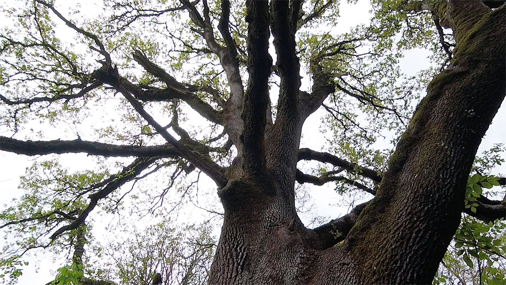
Oregon White Oak at 3-Creeks Protected Area
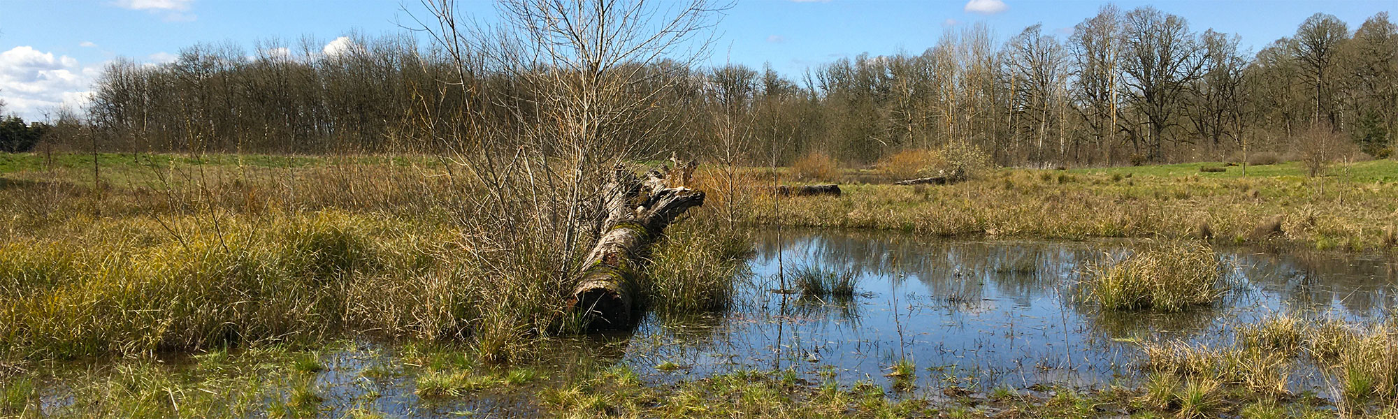
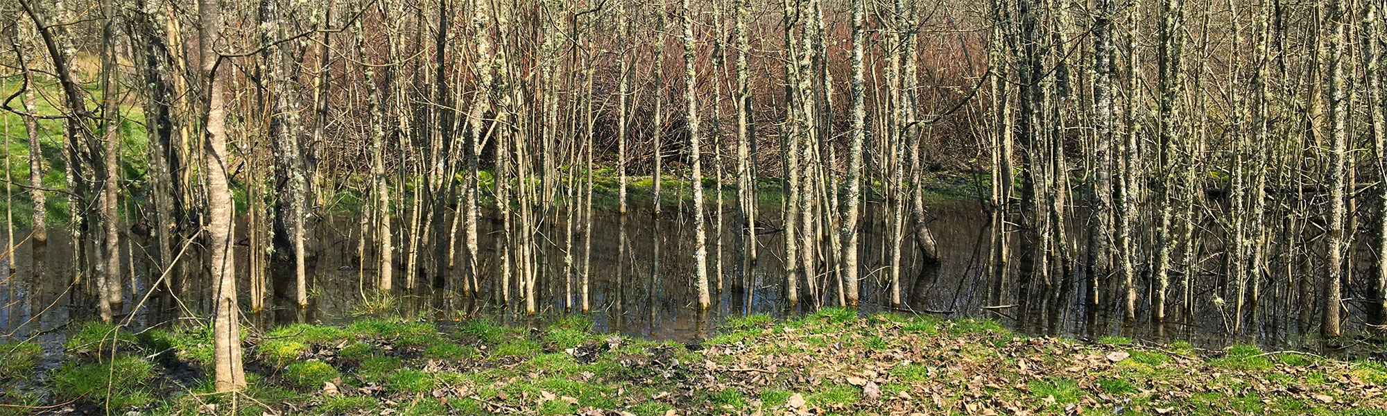
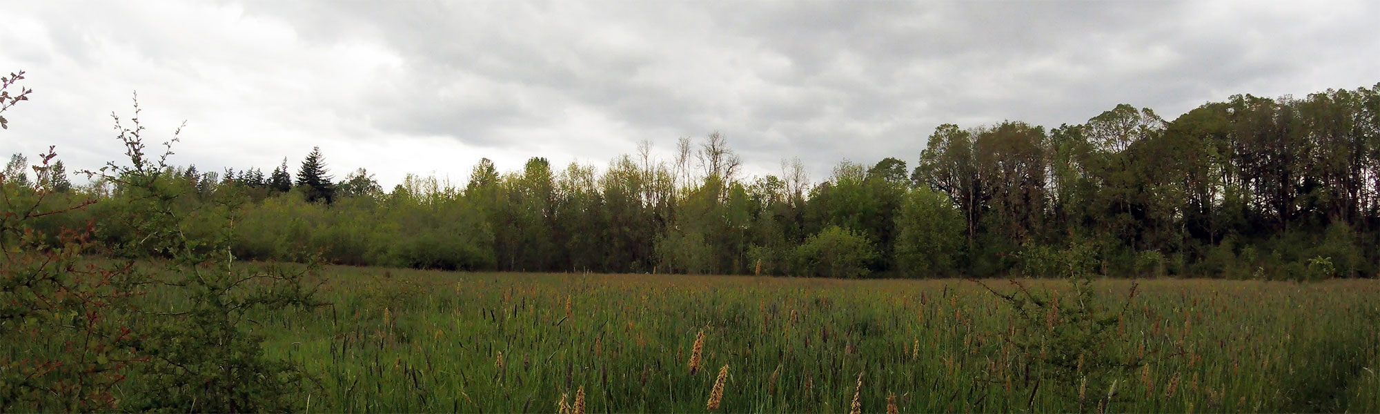
Three creeks — Mt. Scott, Phillips and Dean Creeks — converge on the site to form Mt. Scott Creek, making it an important location for surface and stormwater management and natural habitat. Mt. Scott Creek flows into Kellogg Creek and then to the Willamette River.
Urbanization is taking a toll on the site, with streams eroding, habitat changing and flooding of developed properties becoming more common. This project will enhance the floodplain, improve water quality, improve fish and wildlife habitat and provide opportunities for pedestrian access and environmental education on the site, where feasible.
3-CreeksProtected Area benefits our entire region.
3-Creeks Protected Area Floodplain Enhancement
Project Presentation - Dec. 2, 2021
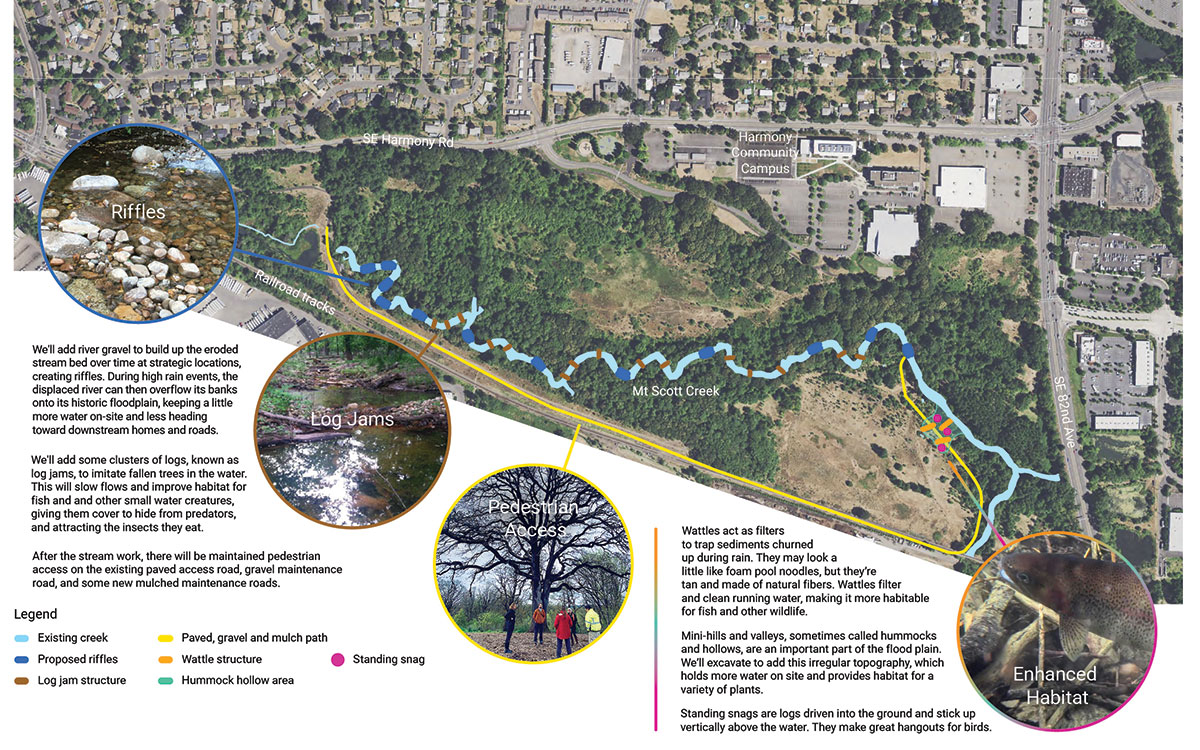
Aerial view of the 3-Creeks site showing the locations and examples of the planned riffles, log jams, pedestrian access, and hummocks and hollows
- Riffles: We'll add river gravel to build up the eroded stream bed over time at strategic locations, creating riffles. During high rain events, the displaced river can then overflow its banks onto its historic floodplain, keeping a little more water on-site and less heading toward downstream homes and roads.
- Log Jams: We'll add some clusters of logs, known as log jams, to imitate fallen trees in the water. This will slow flows and improve habitat for fish and and other small water creatures, giving them cover to hide from predators, and attracting the insects they eat.
- Pedestrian Access: After the stream work, there will be maintained pedestrian access on the existing paved access road, gravel maintenance road, and some new mulched maintenance roads.
- Hummocks and Hollows: Mini-hills and valleys, sometimes called hummocks and hollows, are an important part of the flood plain. We’ll excavate to add this irregular topography, which holds more water on site and provides habitat for a variety of plants.
What’s new (Updated May 2026)
- Walking tours and all other public use of the site has ended. No public access is allowed during construction, for safety.
- Signs have been posted and flyers distributed to warn people that the site is closed during construction.
- Contractor is working on the floodplain grading area, to create more floodwater storage and wetland habitat. An archaeologist is monitoring the excavation.
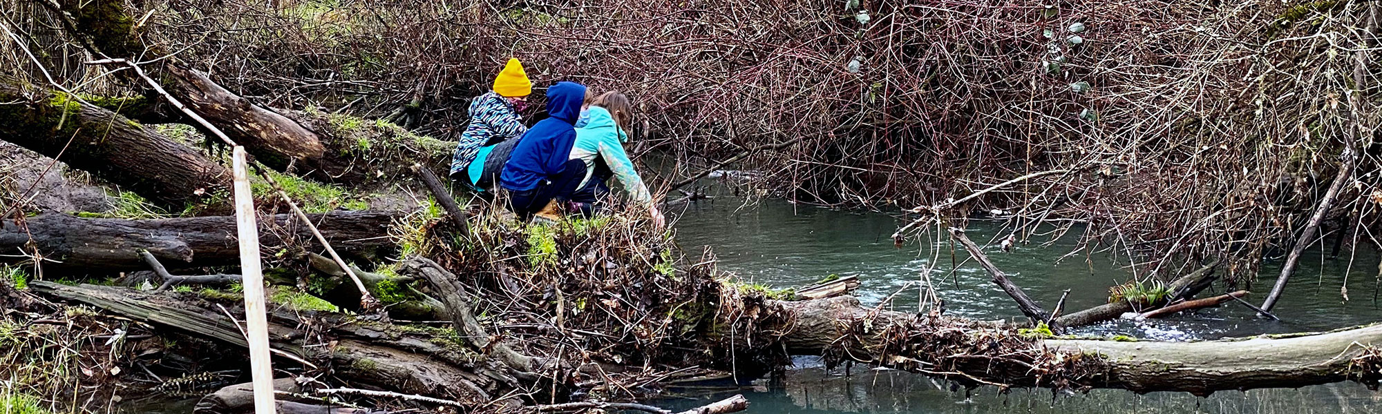
- Recently held walking tours, volunteer amphibian egg mass surveys, and a bioblitz on site.
What we’ve completed so far
- Contractor constructed an access route, including tree removals, to allow access to the work areas.
- Contractor began in-water work in summer 2025, completing the first set of post reinforcement structures.
- North Clackamas Watersheds Council and Unite Oregon held several walking tours, including a birdwatching tour for the community
- Developed materials and posted signage to make people aware of our schedule and warn about the danger of accessing the site during construction.
- Developed 30%, 60%, 90%, and100% plans, specifications and cost estimate
- Received final permits/approval from Oregon Dept. of State Lands (DSL), Oregon State Historic Preservation Office (SHPO), US Army Corps of Engineers (USACE), National Marine Fisheries Service, Oregon Dept. of Fish & Wildlife-Fish (ODFW) Passage Coordinator, and Clackamas County Planning (floodplain devel permit).
- Partner North Clackamas Watersheds Council has completed online meetings and site tours with Unite Oregon and community members. Their work included outreach to underserved communities.
- Conducted on-site surveys, site assessment
- Alternatives development and analysis, including Hydraulic & Hydrologic modeling Public outreach, stakeholder meetings, and public input
- We were selected for a Metro Nature in Neighborhoods Capital Grant and have a grant agreement in place.
- Completed a Cultural Resources Assessment and shovel probe survey, and historic evaluation of the existing bridge. The shovel probe surveys turned up 16 pieces of lithic debris, considered pre-contact fragments leftover from tool-making. The bridge was determined not eligible for listing in the National Register.
- The Wetlands Conservancy has conducted two years of volunteer amphibian egg mass surveys. The survey found egg masses from the Pacific chorus frog, 24 long-toed salamander, northwestern salamander, and red-legged frog. This is a sign of very good habitat quality in the existing wetlands!
- Bidding was completed and WES hired a contractor to construct the restoration project.
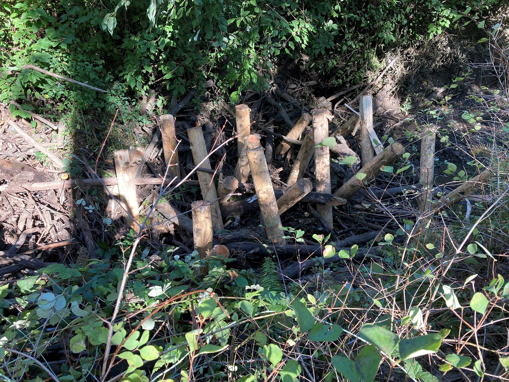
Post reinforcement structures installed
What’s next?
- Planting fall-winter 2025-26
- Instream work summer 2026
- Planting fall-winter 2026-27
News about the 3-Creeks Protected Area Floodplain Enhancement Project
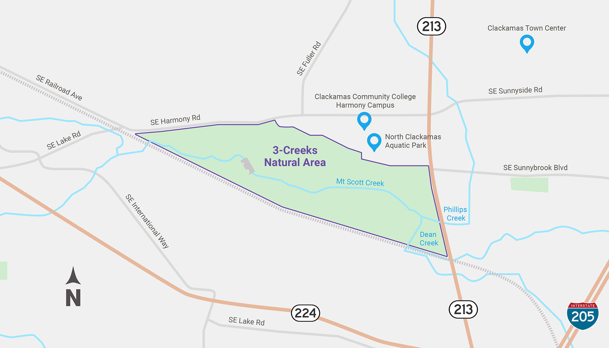
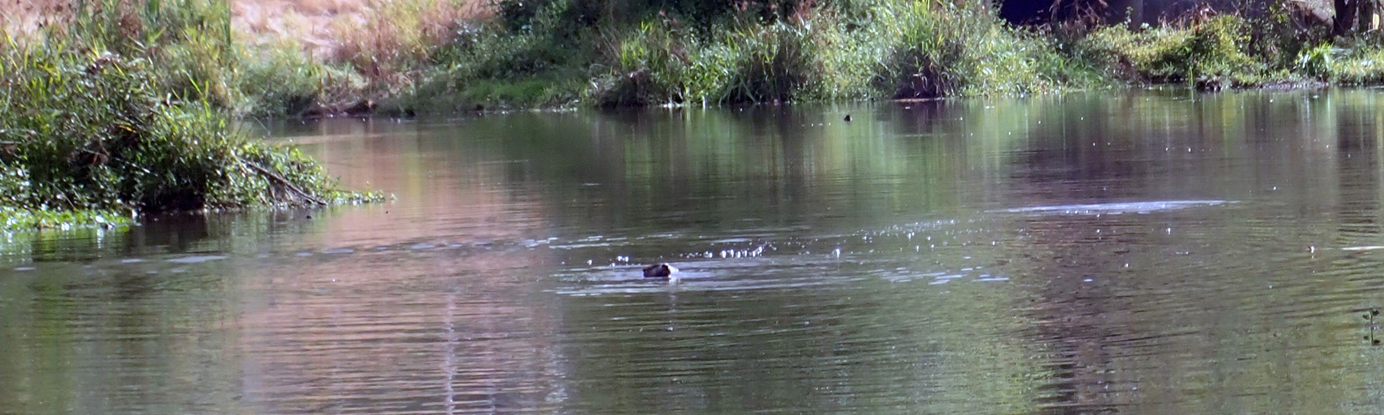
3-Creeks Protected Area is next to the Harmony Community Campus which is home to the North Clackamas Aquatic Park and Clackamas Community College. In the midst of an industrial and urban residential area, its impressive groves of oaks and other vegetation form 89 acres of natural habitat for beaver, fish, deer, otters and more.
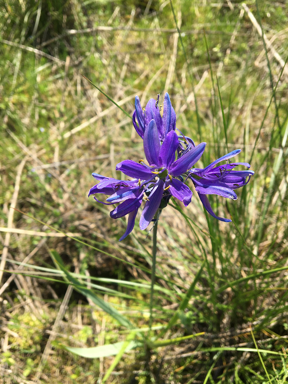
Beautiful Camas Lilies grow in the wetlands
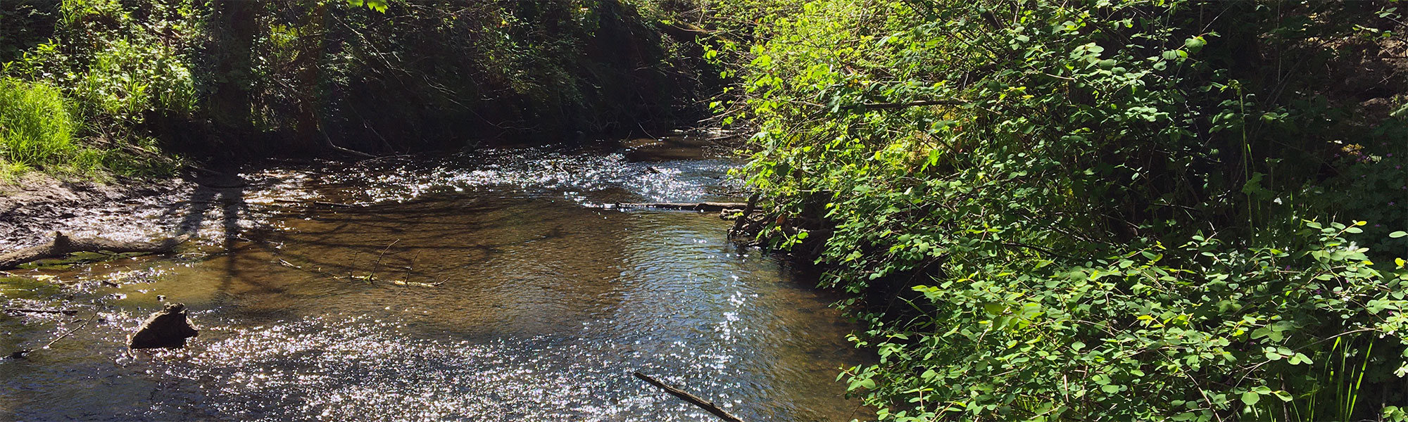
3-Creeks Protected Area is a unique and important patch of fish and wildlife habitat in an urban area. It provides stream habitat for threatened and endangered species of our native salmonids. The site contains a flood reduction facility which protects downstream properties. The wetlands absorb and store water that would otherwise run downstream and flood. The creek, wetlands, trees and vegetation provide critical habitats so rare in an urban environment. The community has long recognized 3-Creeks Protected Area as a special place and has actively worked to protect it.
93306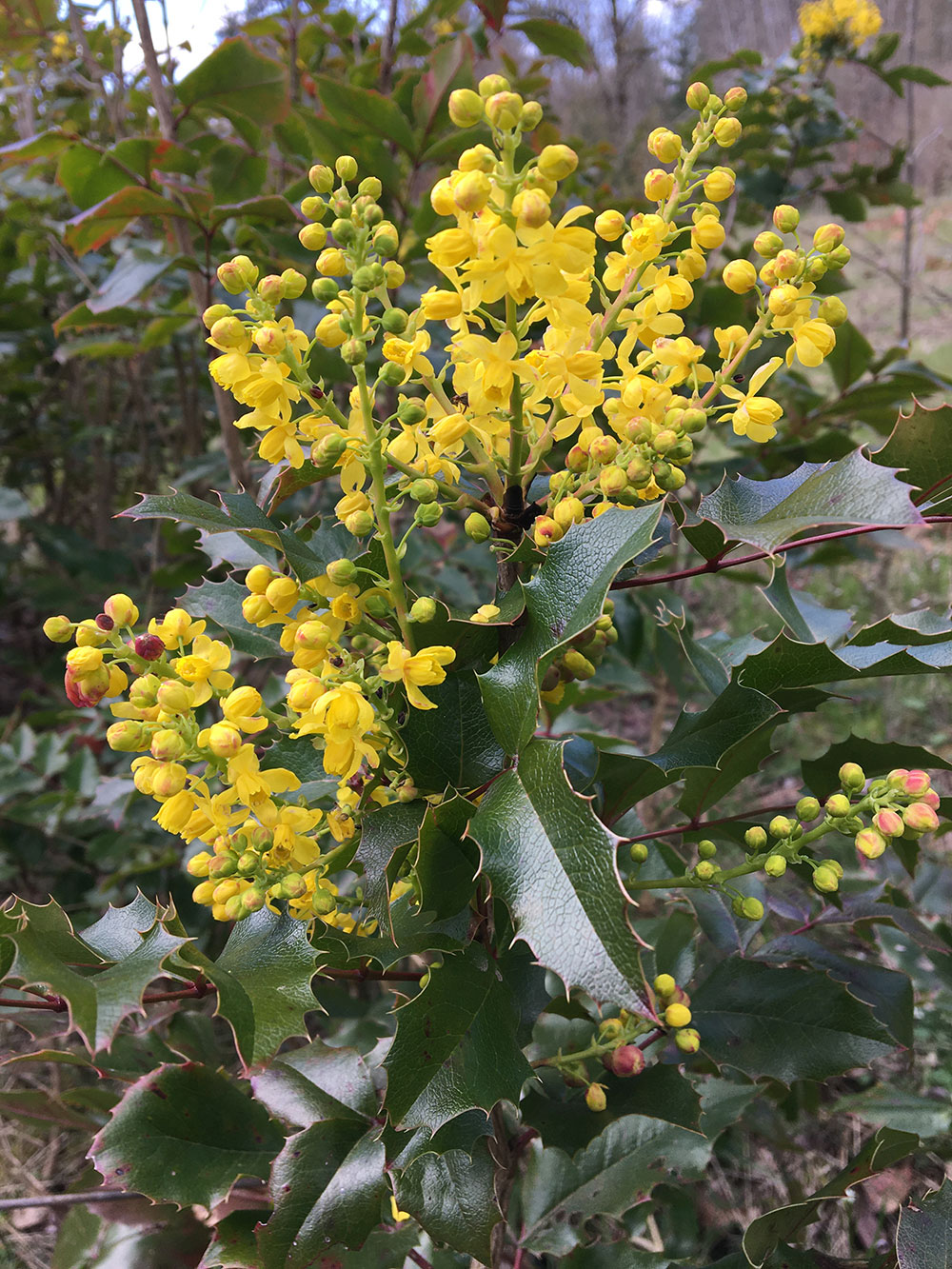
Oregon Grape can be found on the site
3-Creeks Protected Area is owned by Clackamas Water Environment Services which operates the existing flood reduction facility structures. The natural portion of the site is maintained by the North Clackamas Parks and Recreation District through a partnership with WES. Community volunteers have been stewards of the site over the years with countless hours of invasive plant removal, native plantings and cleanup events.
93306The main goals of the project are to:
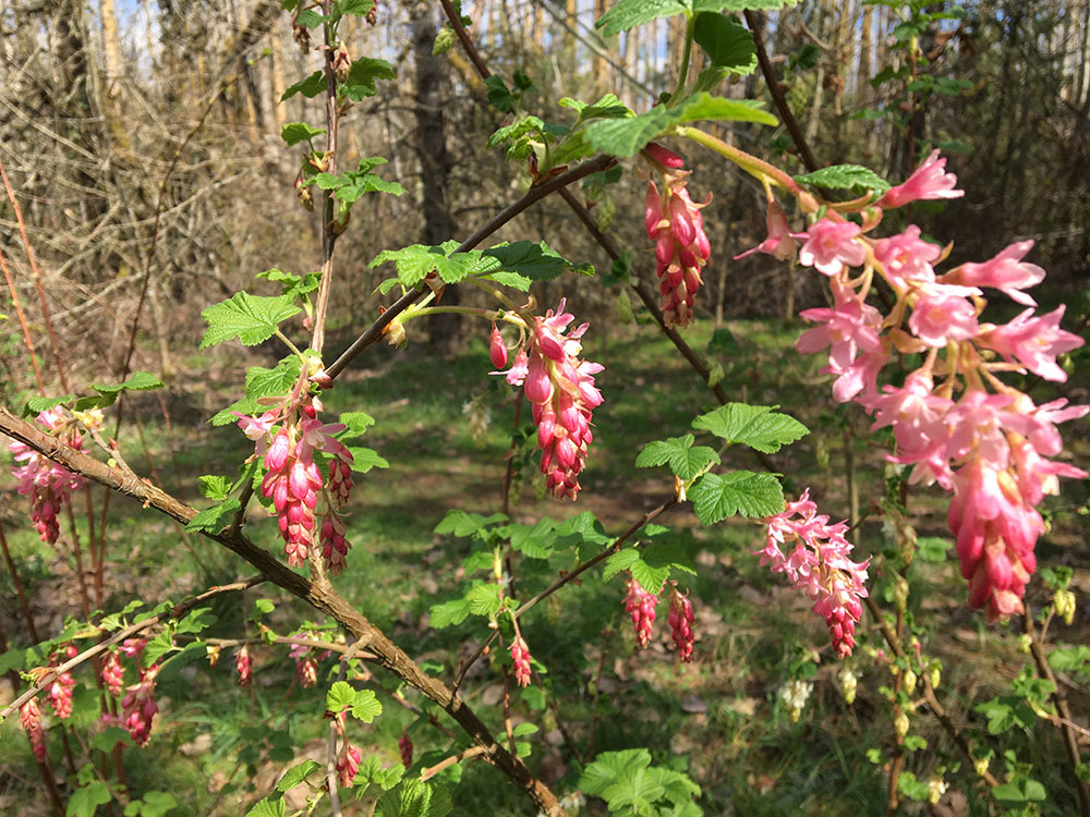
Red Flowering Currant blooms at 3-Creeks Natural area
- Improve the water quality of streams
- Allow the streams to overflow onto the floodplain to store more water onsite and provide more seasonal habitat for fish and other aquatic species
- Optimize performance of the existing flood reduction facility to reduce downstream flooding
- Enhance riparian and wetland habitat
- Buffer the effects of a changing climate to the extent feasible
- Provide community benefits, such as pedestrian access and environmental education, where feasible
The existing flood reduction system, which forces water to pond on the site, will remain in place. The project will likely adjust how water flows through and away from the site. This project will explore options for how that happens and consider the impacts on the site, including impacts upstream and downstream on both properties and habitat.
Stormwater and flood control
These adjustments will allow the natural area to store more stormwater. This will help protect downstream areas from flooding during our long rainy season and enhance seasonal floodplain habitat for aquatic species.
Habitat
The adjustments will also improve water quality and increase wetland habitat, making the natural area a better home for wildlife. Specifically, the streams on site have been down cut and we aim to improve those conditions.
Public access
The community currently uses this area to walk, hike and experience nature in our urban area, as well as for environmental education. Some access may shift due to wet soils or to protect sensitive areas, but the ability for the community to connect to the site will continue.
93306
Clackamas Water Environment Services (WES) celebrated the groundbreaking of the 3-Creeks Protected Area Floodplain Enhancement Project with county officials and our amazing partners.