 Translate


Bull Run River (Bull Run Road) Bridge Replacement
The Bull Run Bridge is closed to all traffic weighing over 12 tons. Special use permits for heavy loads will not be approved.
The Bull Run River Bridge crosses the Bull Run River north of the Sandy area. The portion of the bridge above the foundation (superstructure) is more than 126 years old and comes from a span of Portland's Burnside Bridge that was constructed in 1894. The Bull Run Bridge section was moved to its current location in 1926.
The bridge is nearing the end of its useful life and requires increasingly expensive repair and maintenance projects in order to keep it open. In 2021 truck weight restrictions were placed on the bridge and the bridge's roadway was reduced to one lane in order to preserve its remaining life. This is a critical access point for the City of Portland's water system that supplies water to much of the Portland area.
It is anticipated a new Bull Run River Bridge would be constructed next to the current structure.
Design
Updated: March 3, 2026
Why
To remove weight restrictions for trucks and to ensure connections exist for emergency response, access for timber industry, Portland Water Bureau and residents of an isolated rural area.
Share your bridge rail design preferences
Part of the bridge replacement project may include designing historical elements into the bridge plans. Share your preferences by April 30, 2026 at https://engageclackamas.mysocialpinpoint.com/bull-run-bridge.
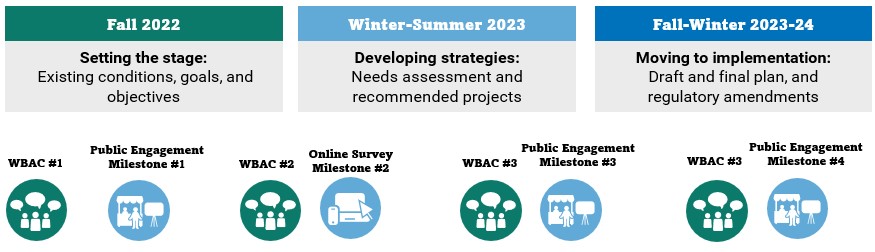
Schedule
We anticipate the schedule as follows:
- Design: April 2025 - Spring 2028
- Right of way: Winter 2027 - Winter 2028
- Construction: Spring 2028 - Fall 2029
Background
The Bull Run Bridge was originally constructed in 1894 as part of the Burnside Bridge over the Willamette River in downtown Portland, and was moved to its current location in 1926. The Bull Run Bridge crosses the Bull Run River and is a key access point to the Bull Run Reservoirs, which provide clean water to over 1 million customers in the Portland area.
Further deterioration of the structure could require the bridge to be closed to all traffic in the next five to 10 years if it is not replaced. A closure would require residents, businesses and emergency services to use a lengthy detour route to reach homes and businesses in the Bull Run River watershed.
A recent inspection of the bridge by the Oregon Department of Transportation (ODOT) identified some components in worse condition compared to the prior inspection. ODOT developed a new load rating for the bridge based on the latest conditions of the bridge, which resulted in new weight restrictions.
Over time, the natural processes of deterioration and constant use take their toll on bridges and can leave a bridge with less capacity than when it was originally designed and built. Also, the size and weight of freight and emergency vehicles has been increasing steadily. Because most of Oregon's bridges were not designed for current vehicle sizes and weights, many of our aging bridges cannot safely carry all modern loads. These bridges must be posted to limit traffic to the loads they can safely carry without impairing structure or safety.
Navigating the weight restrictions for commercial freight businesses
While this closure to vehicles over 12 tons is resulting in much longer travel times, it is necessary to maintain critical access for community members' daily and recreational use, and for emergency services. Therefore, we can no longer provide special use permits for heavy loads due to the declining condition of the bridge.
Trucks and other vehicles that weigh over 12 tons must travel on Gordon Creek Road in Multnomah County, which also has two bridges with weight restrictions for certain types of vehicles. Multnomah County bridge information.
Read frequently asked questions
Funding
- Total project estimate: $20 million
- $2 million funded for design and right of way work from Oregon Local Agency Bridge Selection Committee (LABSC), plus a local match for $205,700 from the Road Fund.
- Construction financed with federal funds through ODOT Local Bridge Program with County Road Fund match (state gas tax revenues) and the Portland Water Bureau.
 Projects funded through the new Community Road Fund will increase safety, relieve congestion and maintain local roads.